We create brands and a better future with you!
Explore our projects and activities and see how we can make a difference together!
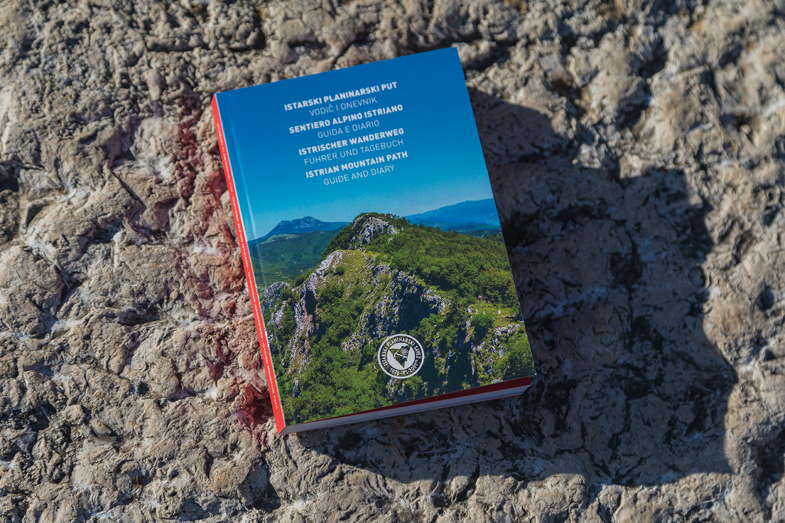
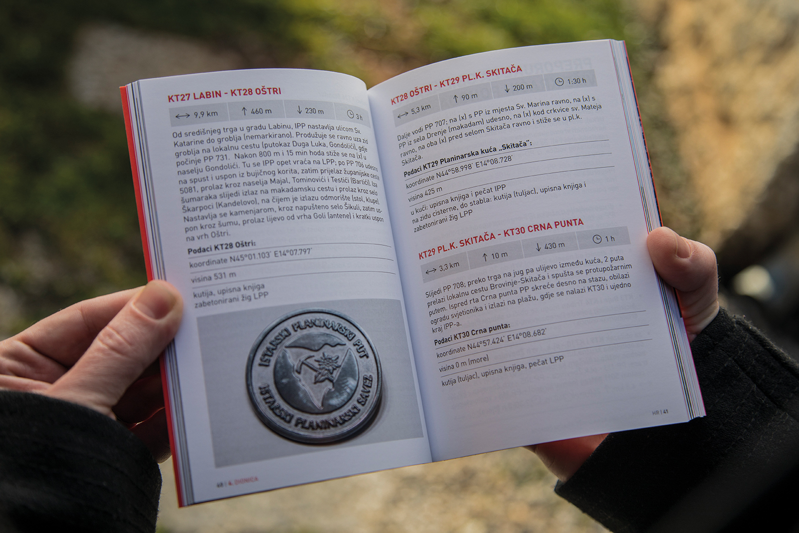
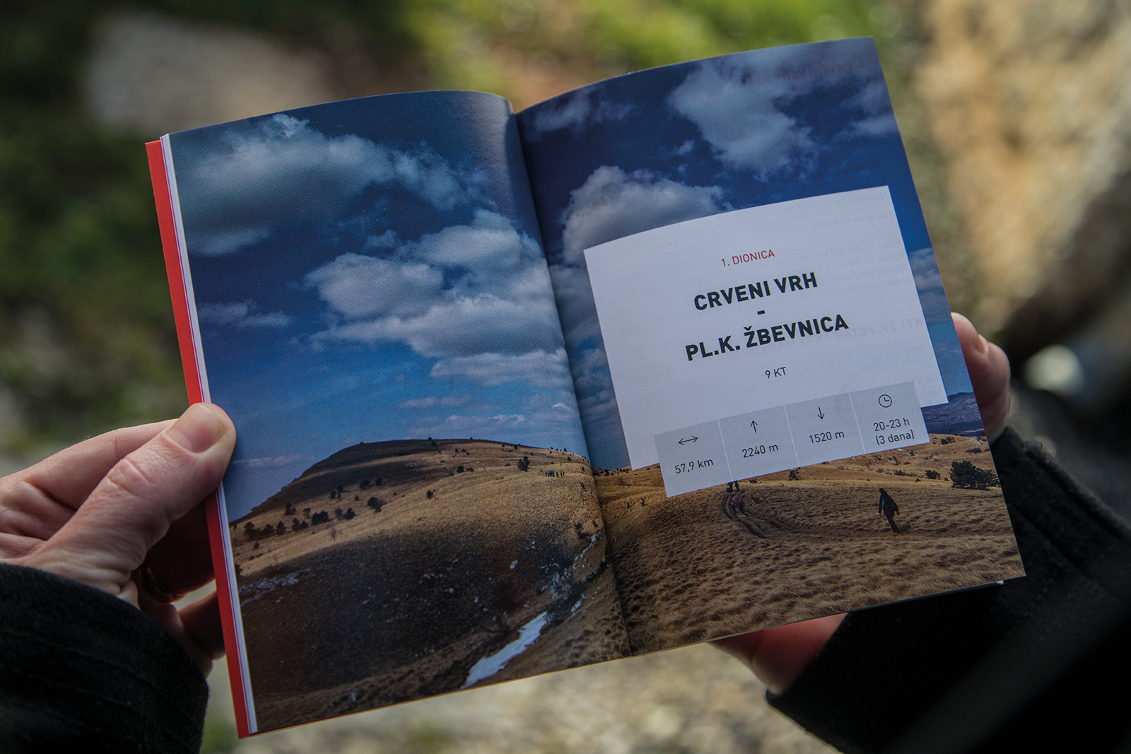
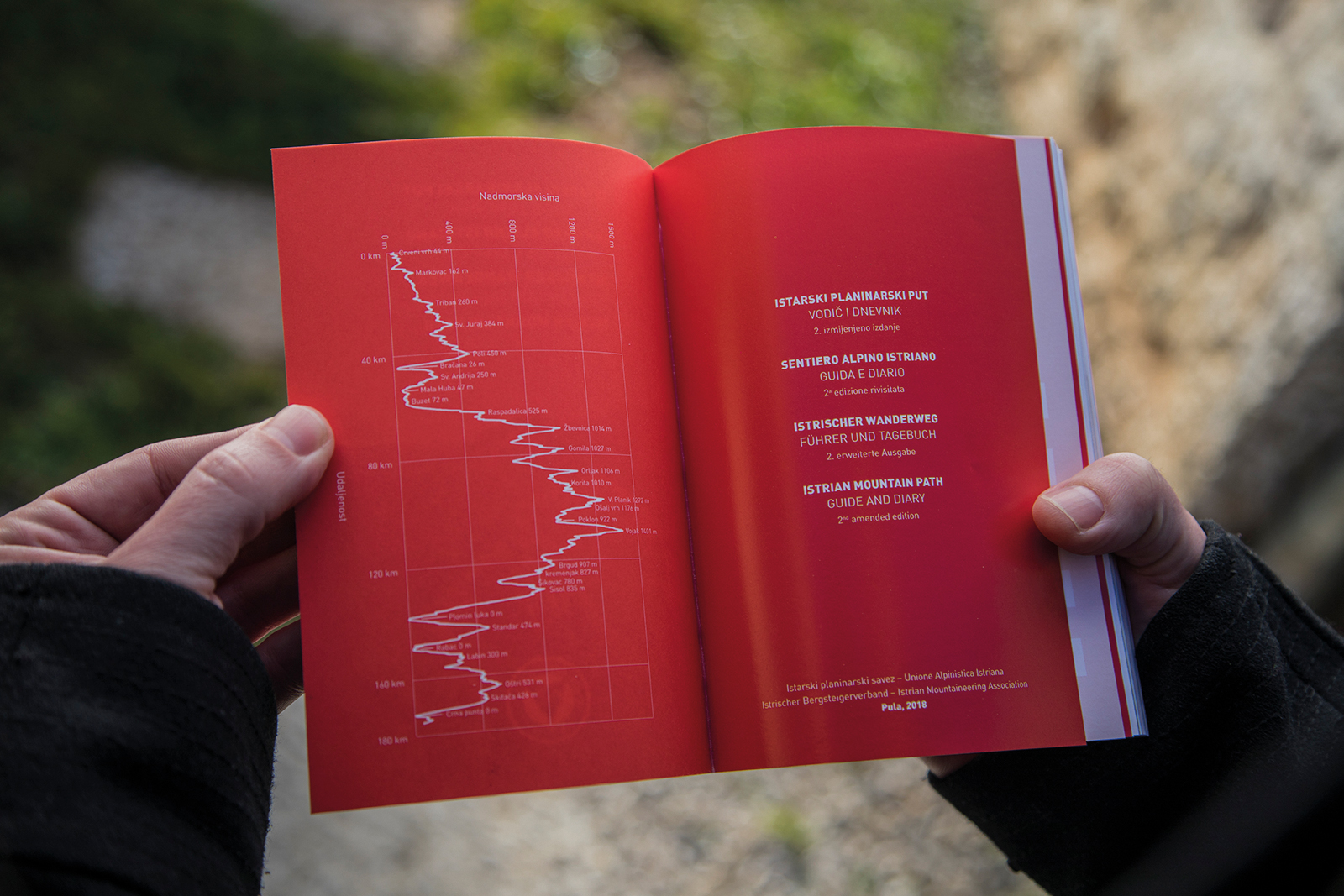
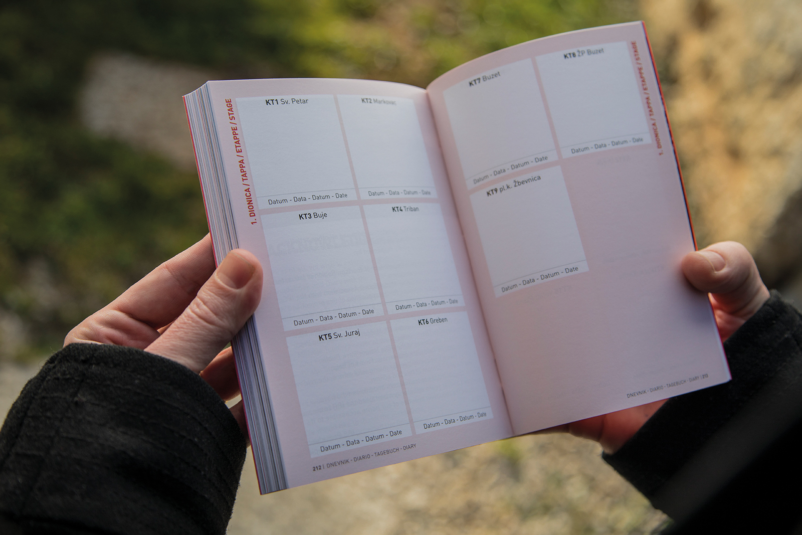
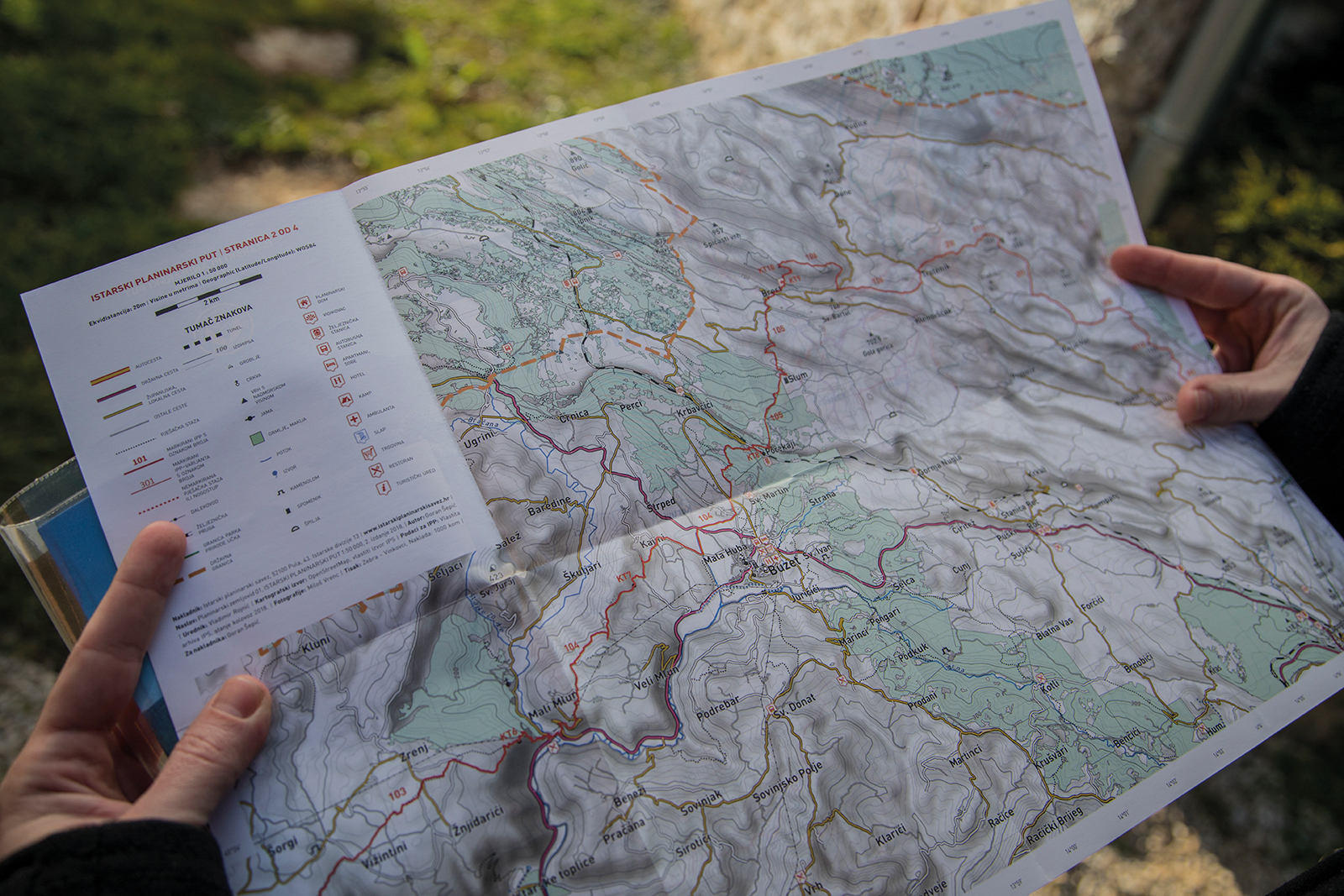
On 226 pages in 4 language versions, the guide brings a handful of information such as descriptions and charts of hiking trails, GPX navigation data, total cumulative up- and downhill data, checkpoint coordinates, and recommendations for tours of shorter excursions and longer ones.
The issue also contains a map/trail map and, ultimately, important phone numbers.
The Istrian mountain trail is conceived not only as a guide and a map but also as a travel diary that promotes the route of the entire Istrian hiking trail.
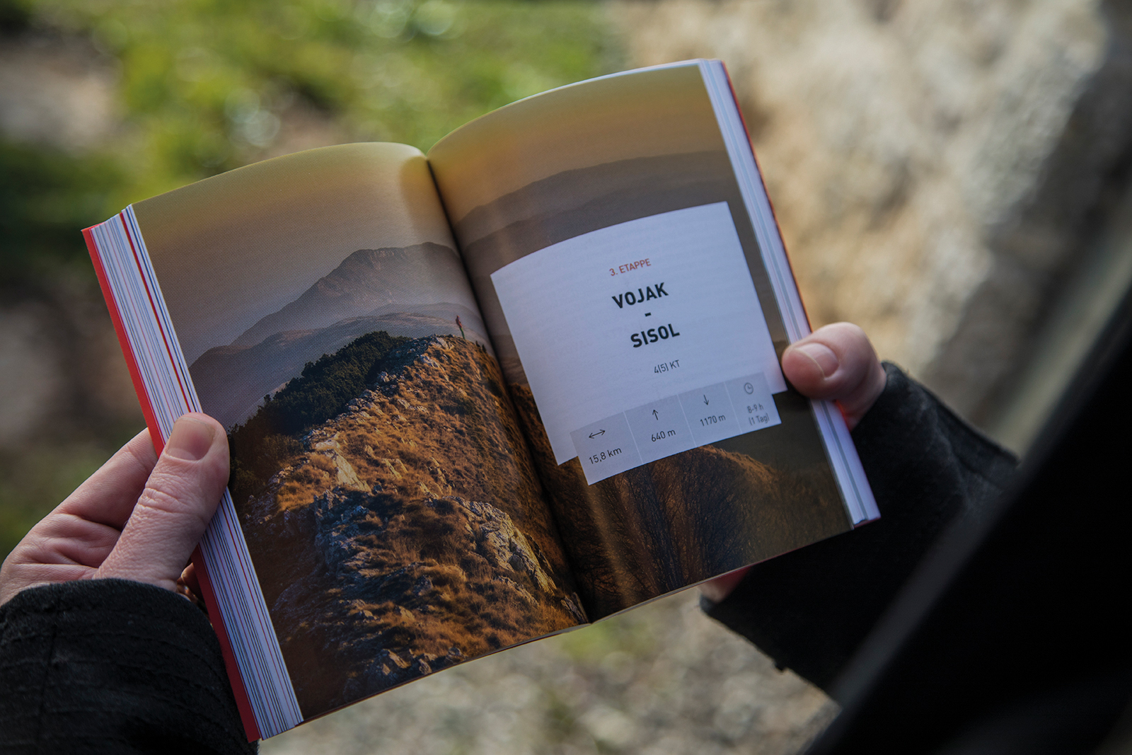
A route that runs from one end of the peninsula to the other in the predicted time period of 8 days is described in detail.
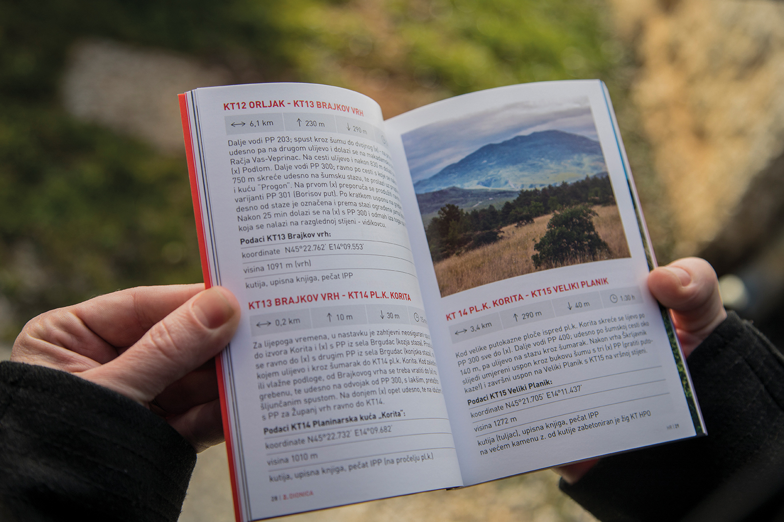
The 160 km long trail consists of 4 sections and 30 checkpoints, whereby hikers have the opportunity to gain a prize pin.
The start of the trail is above Piran Bay, and the final point is on the Crna punta (The Black Point) near Labin.
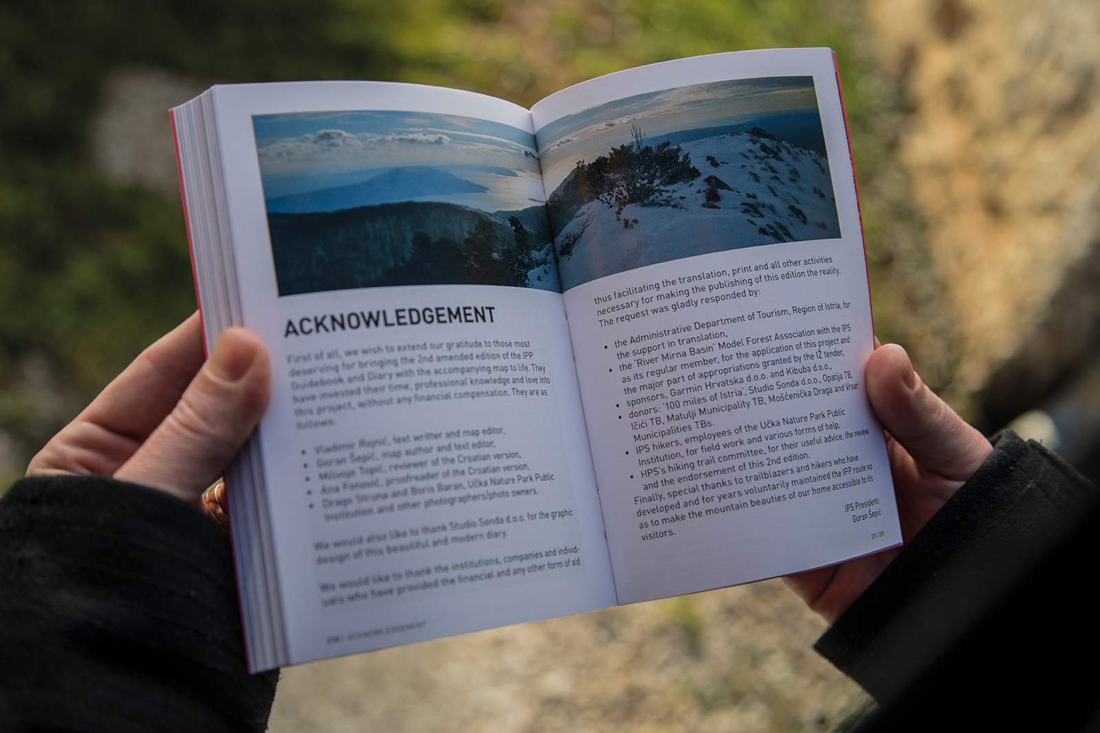
The design of this accurate guide is entrusted to Studio Sonda. The editor of the Guide is Goran Šepić, and the publisher is the Istrian Mountain Association.
Explore our projects and activities and see how we can make a difference together!